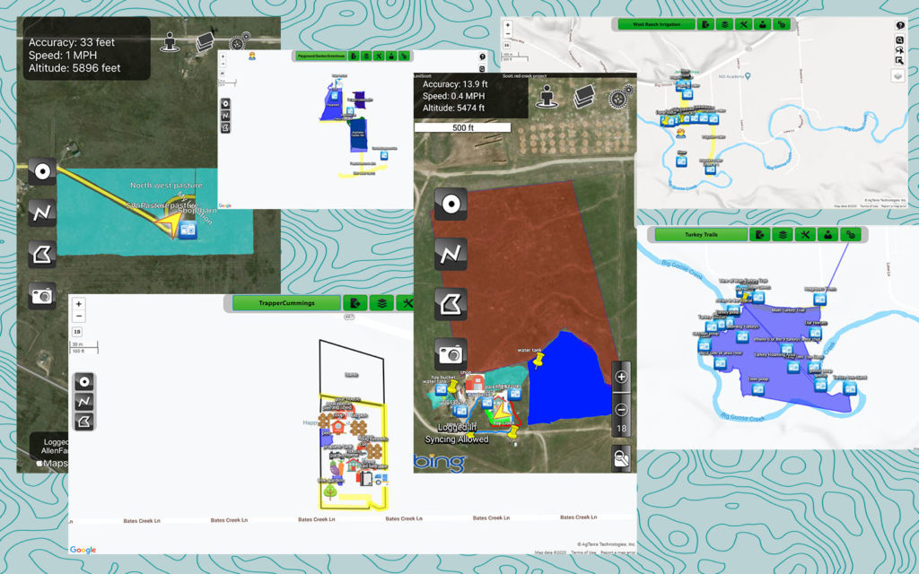
 Ten students from across Wyoming submitted projects for the 2020 GIS Mapping Contest, bringing the program to a strong finish. Following school closures, we revised the GIS Mapping Program to fit a new remote learning environment. Now open to students of all ages, we are excited to have participants ages 4-17! Parents mentored their students creating projects that map everything from property boundaries and irrigation features to wildlife habitats and hiking trails. A panel of judges will be reviewing these creative projects, and we will announce the winner on June 17th. Thank you to everyone who participated this year!
Your students can still explore GIS Mapping in the “Let’s Map It” lesson from the Family Learning Series! The lesson plan and a video tutorial can all be found HERE.