Fifth Grade students are learning the potential for collecting and sharing
information through maps as a part of the 2019 Bookmark & Beyond program. To complete this class project, we’ve asked students to explore their communities and state at a deeper level, while introducing technical skills used in real-world careers.
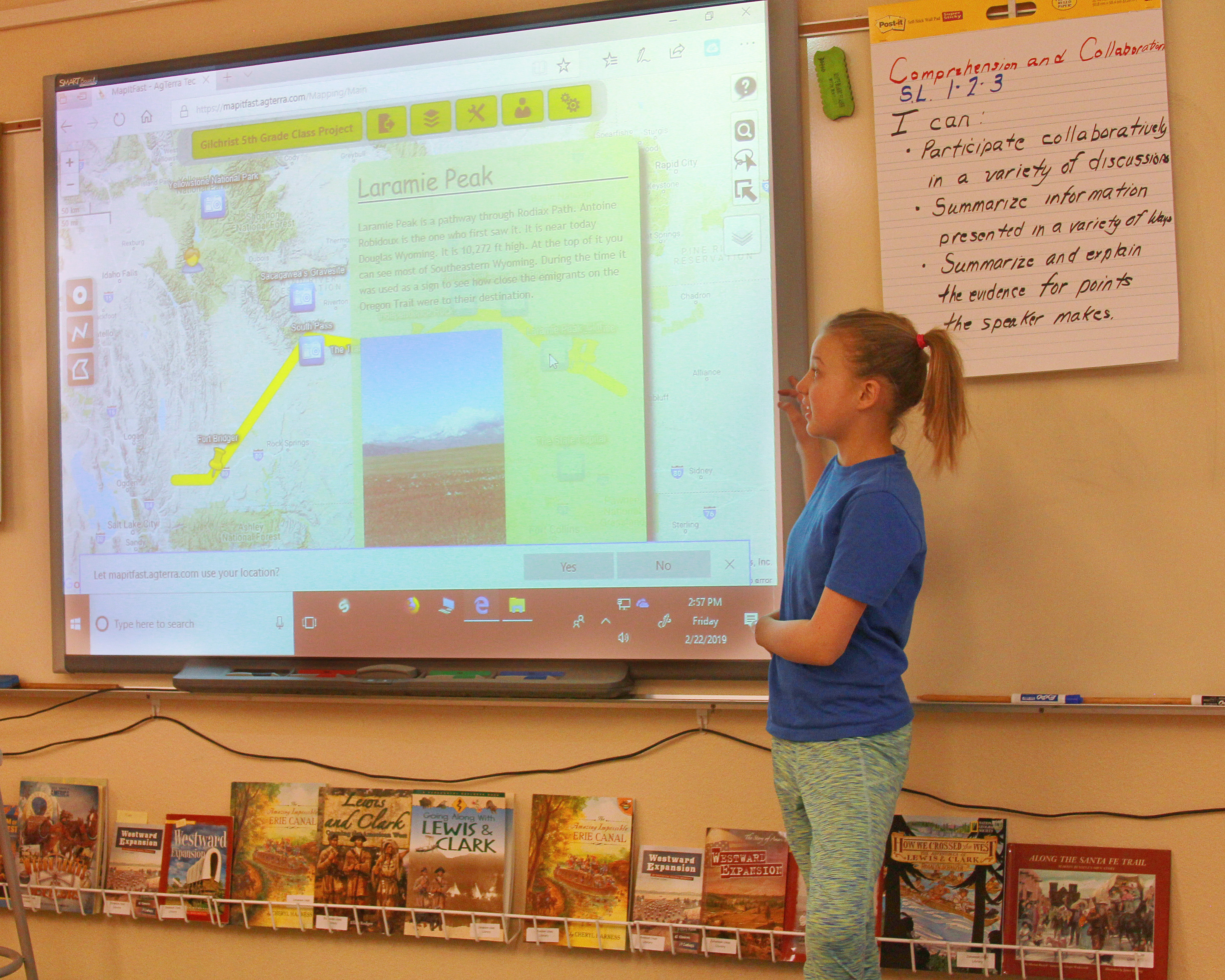
Students learn to use the MapItFast app, generously donated by AgTerra, to map points, lines, and polygons from smart devices or desktop computers. These
features are used to add information to maps and can include photos and notes about a location or site, along with the geographic coordinates and measurements of length and area. After working together as a class to develop their map, students share the story and goal of their project in a written report, before presenting their project as a class.
During the first year of this project, 5th Grade teachers have shown how they can use this project to enrich content they’re already covering in class. One project, developed by the 5th Grade class at Gilchrist Elementary in Cheyenne, illustrates Wyoming’s Role in Westward Expansion. Students researched important historic sites and added that information to the points in their map. They also mapped the route of Oregon Trail through the state and can share how many miles this route covered.
The project possibilities are only limited by imagination, and we’re excited to see this program grow in years to come.